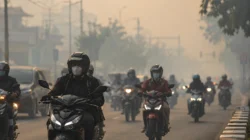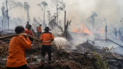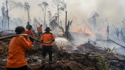


In Palangka Raya, the Regional Disaster Management Agency (BPBD) recorded 832 forest and land fire incidents between June 1 and October 8, 2026. The fires burned a total of 1,407.75 hectares during that period.
However, the smoke reaching neighboring countries cannot automatically be attributed to fires in Palangka Raya. Regional monitoring has identified fire sources across several areas of Kalimantan and Sumatra.
Malaysia Closes Schools as Haze Worsens
The Malaysian government closed schools in several states and federal territories on Friday, October 9, 2026. The decision followed deteriorating air quality caused by regional haze.
The school closures demonstrate how forest and land fires can disrupt education beyond national borders. Communities also face health risks from exposure to airborne pollutants.
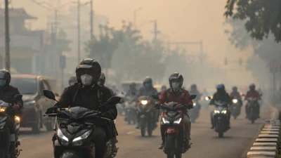
On October 8, Malaysia’s Department of Environment reported unhealthy air quality at 38 monitoring locations across Peninsular Malaysia. Segamat, Johor, recorded an Air Pollutant Index (API) reading of 190.
Sources: Reuters, October 9, 2026 and The Borneo Post, October 8, 2026.
Singapore Records Unhealthy Air Pollution Levels
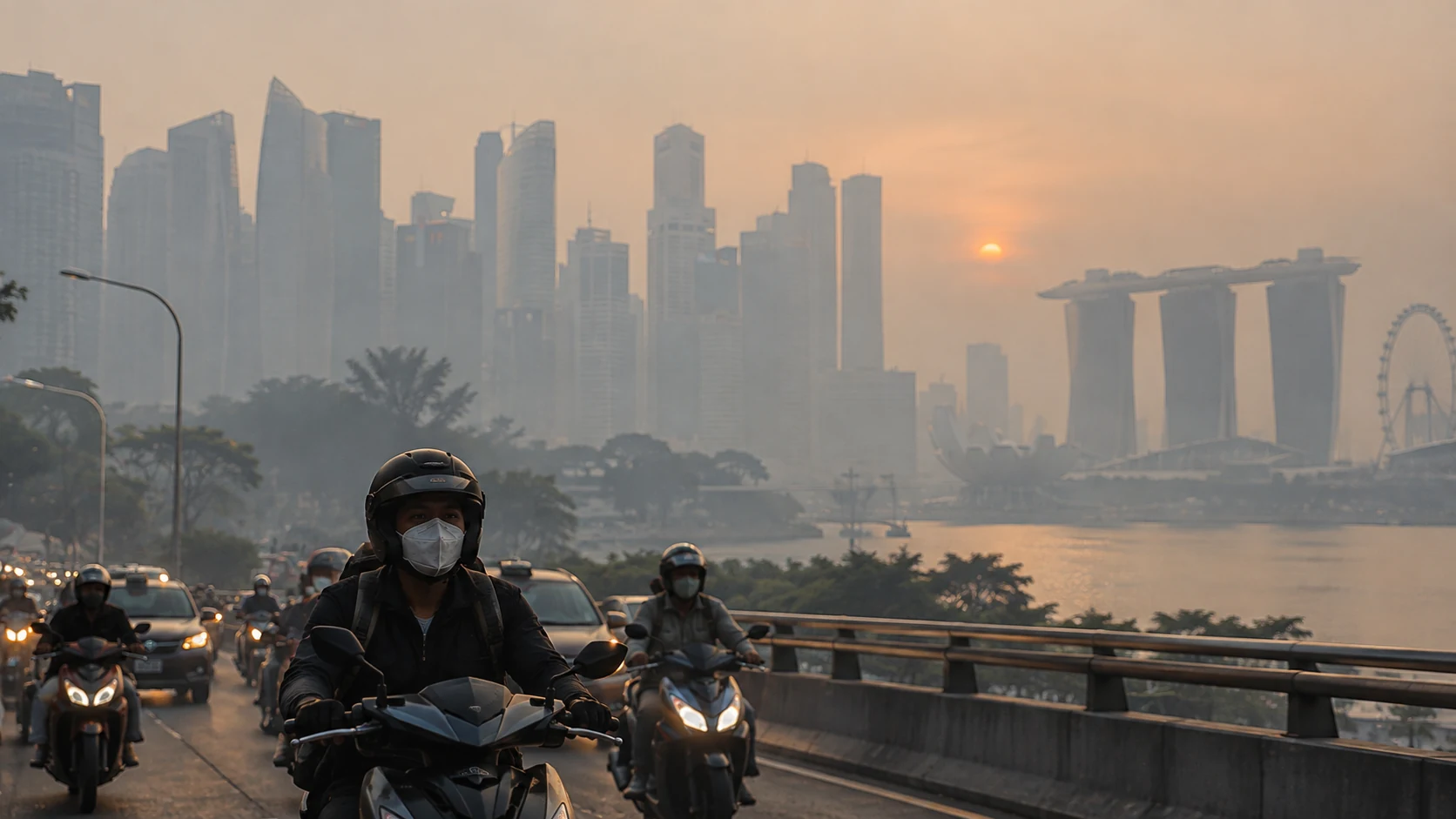
The Meteorological Service Singapore reported Pollutant Standards Index (PSI) readings ranging from 134 to 192 on Friday, October 9, 2026, at 5:00 p.m. local time. These readings fell within the unhealthy category.
Hourly PM2.5 concentrations ranged from 91 to 134 micrograms per cubic meter. The agency also observed smoke originating from Sumatra and several parts of Kalimantan.
Click each location to explore the data and sources.
Singapore — PSI 134–192
Measurement recorded on October 9, 2026, at 5:00 p.m. The chart represents the maximum PSI reading of 192 against a visual scale of 300.
Malaysia — 38 Locations With Unhealthy Air Quality
Data recorded on October 8, 2026, at 3:00 p.m. Segamat registered an API reading of 190, while Kluang recorded 181.
Source: The Borneo Post / Malaysia Department of Environment
Brunei and Sarawak — Transboundary Smoke
Satellite imagery dated August 30, 2026, showed smoke spreading across Brunei, Sarawak, Sabah, and Kalimantan. This represents historical monitoring data, not an air quality measurement taken on October 10.
Note: Singapore’s PSI and Malaysia’s API are different national air quality indices. These readings do not establish how much smoke originated from fires in Palangka Raya.
Hundreds of Hotspots Detected Across Kalimantan
Malaysia’s Department of Environment investigated the sources of haze using regional monitoring data. ASEAN recorded 327 hotspots in Kalimantan and 191 in Sumatra on September 29, 2026.
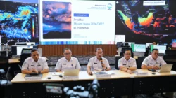
Azuri Azizah Saedon, Deputy Director-General for Development at Malaysia’s Department of Environment, presented the findings in Kuala Lumpur on Wednesday, September 30, 2026.
Azuri explained that ASEAN monitoring had identified transboundary haze affecting Peninsular Malaysia, Singapore, and northwestern Borneo.
The findings indicate that smoke originated from multiple locations. Hotspot data alone cannot establish the exact causes of fires or identify the parties responsible.
Palangka Raya Authorities Strengthen Firefighting Response
In Palangka Raya, the local government provided additional firefighting equipment to improve volunteer readiness. The assistance supports emergency operations in areas vulnerable to recurring fires.
Palangka Raya Mayor Fairid Naparin emphasized the importance of community volunteers in Palangka Raya on Tuesday, October 6, 2026.
“The role of volunteers is crucial in responding to forest and land fires. Volunteers are part of our collective strength in protecting communities and the environment from the impacts of fires and haze,” Fairid said.
Fairid also expressed appreciation for volunteers involved in fire prevention and suppression. Community participation helps accelerate emergency responses when fires emerge in vulnerable areas.
El Niño Increases Regional Haze Risks
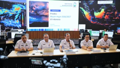
The ASEAN Specialised Meteorological Centre forecast below-normal rainfall across many parts of Southeast Asia during October. El Niño conditions could also increase the risk of forest and land fires.
Southeasterly and southwesterly winds can transport smoke across national borders. Effective fire prevention therefore requires regional cooperation in monitoring and emergency preparedness.
Source: ASEAN Specialised Meteorological Centre, October–December 2026 Seasonal Outlook.
Who Is Responsible for Transboundary Air Pollution?
Transboundary haze has renewed questions about land management, environmental oversight, and law enforcement. Authorities must investigate the causes of fires and identify the parties controlling affected land.
However, air pollution in Malaysia or Singapore does not automatically prove that the fires originated in Palangka Raya. Investigators need satellite imagery, wind direction data, smoke dispersion models, and field investigation results.
ASEAN cooperation remains essential to preventing new outbreaks. Governments must also communicate response developments transparently so communities can understand the risks they continue to face.
After months of recurring fires, Kalimantan faces challenges that extend beyond extinguishing flames. Public health protection, fire prevention, and environmental accountability require equally sustained attention.