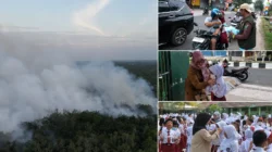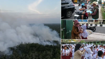


SAMPIT, folitimes.id – Forest and land fires have begun to degrade air quality in Sampit, East Kotawaringin Regency, Central Kalimantan. On Tuesday, July 28, 2026, the haze reduced visibility, produced a strong burning smell, and irritated residents’ eyes.
The latest data from the East Kotawaringin Regional Disaster Management Agency, or BPBD, show that fires have scorched approximately 172 hectares. Moreover, the agency recorded 500 hotspots across the regency.
These figures show that the threat no longer remains within the fire zones. Instead, smoke has reached urban areas and disrupted residents’ daily activities.
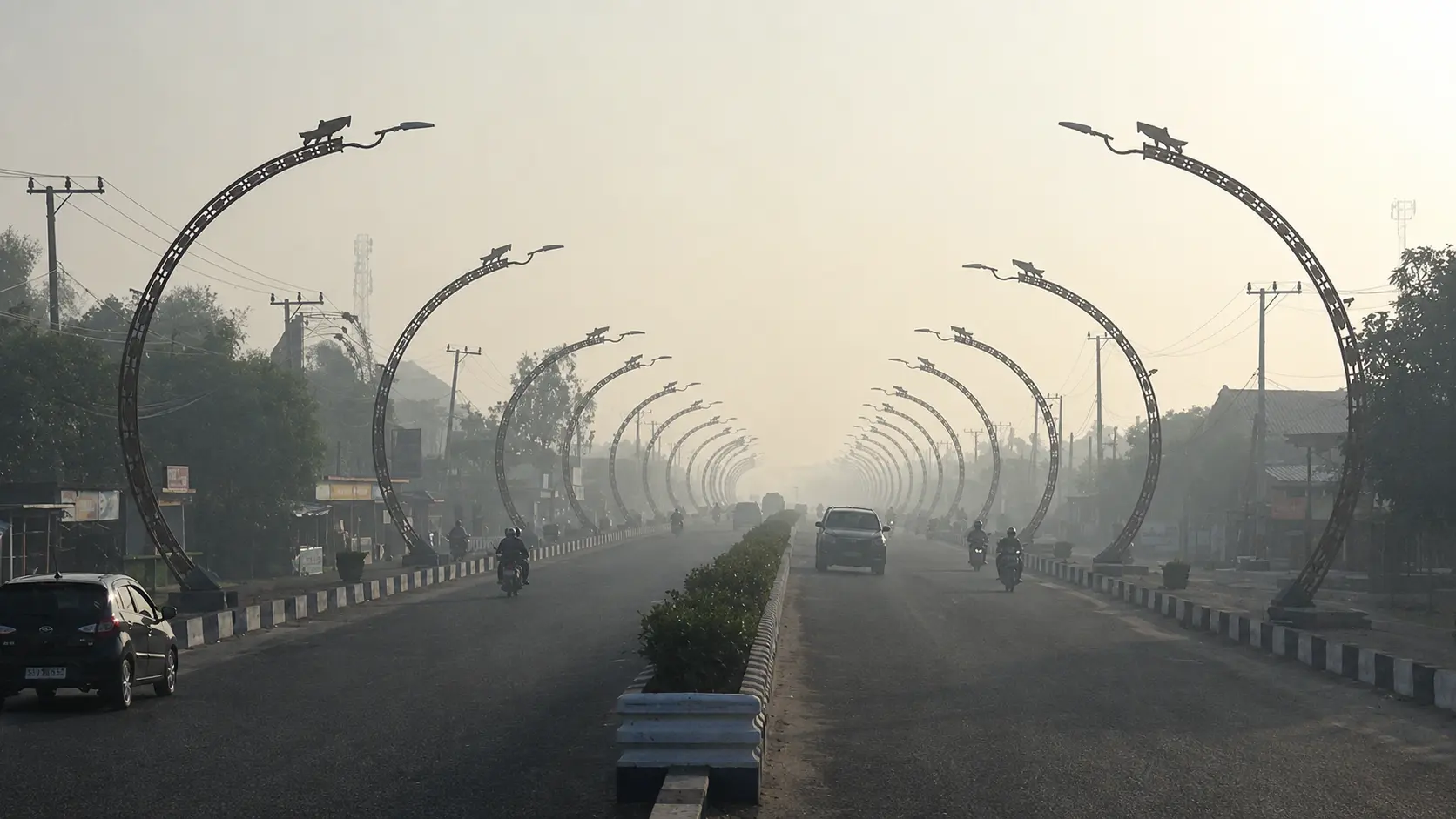
Dense Morning Haze Covers Sampit Roads
Haze has covered several areas and roads across Sampit for more than a week. Conditions become most severe in the morning.
Motorists must navigate smoke along major roads and the city’s entrance. Consequently, declining visibility could increase the risk of traffic accidents.
By midday, the smoke gradually becomes thinner. However, residents continue to smell it and experience eye irritation throughout the day.
Hot and stuffy air has also worsened the situation. As a result, communities must endure the effects even when fire locations remain far from urban activity centres.
Nadaa Fadiya, an East Kotawaringin resident, said she had directly experienced the disruption. She highlighted the strong smell, sore eyes, and uncomfortable heat.
Authorities Consider Raising Emergency Status
The growing number of forest and land fires may prompt the regional government to raise its alert level. Officials could declare a disaster emergency response if conditions continue to deteriorate.
Several indicators will influence that decision. They include fire frequency, prolonged drought, and declining groundwater levels across peatland areas.
Rihel Magat, Deputy Head of the East Kotawaringin Forest and Land Fire Response Coordinating Unit, explained the assessment criteria. According to him, officials must examine rising fire incidents and peatland conditions before changing the status.
Falling groundwater levels make peat increasingly dry and flammable. In addition, flames can travel beneath the surface and leave hidden embers.
These conditions force firefighters to use large volumes of water. Crews must soak deeper peat layers to prevent the fire from returning.
Large Figures Require Transparent Data
The record of 172 burned hectares and 500 hotspots requires a detailed public explanation. BPBD should disclose the reporting period, location distribution, response status, and affected area in each district.
Without those details, residents cannot accurately measure the danger around their homes. Likewise, the government cannot clearly demonstrate the effectiveness of its firefighting operations.
Hotspot records also need a clear cut-off date. Authorities must explain whether the figure covers the entire dry season or only active incidents during a specific period.
Transparency matters because officials have started considering an emergency response. Therefore, any change in status must reflect conditions on the ground and the need to protect residents.
Prevention Must Keep Pace
Firefighters continue to contain flames across peatland areas. Nevertheless, firefighting operations only address the consequences when authorities neglect prevention.
The regional government must strengthen patrols in high-risk areas and secure adequate water supplies. Furthermore, investigators need to determine the cause of every fire.
Law enforcement agencies should also examine possible violations before smoke grows thicker. Early investigation could prevent repeated fires in the same locations.
The most immediate threat now affects public health and road safety. For that reason, authorities should regularly publish air-quality data, prepare health services, and issue clear protection guidelines.
Finally, the 500 hotspots and 172 burned hectares must guide an open evaluation. Residents need certainty about fire locations, containment progress, and government measures to stop the haze from worsening.